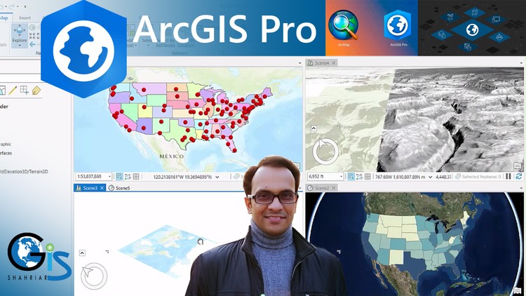
Zero to Hero in ArcGIS Pro – Your Step-by-Step Guide to Master Smart GIS Work!
What you will learn
ArcMap vs ArcGIS Pro User Interface
Global Scene, Local Scene and Catalog Project
Create New Project
Create Shapefile
Edit Shapefile Both in 2D & 3D
Difference Between ArcMap Editor and ArcGIS Pro Edit
Symbology Options of ArcGIS Pro
Web GIS Project by Using ArcGIS Pro
Map Publish in ArcGIS Online
Magical Tips to Start Writing Any Code Languages Easily
ArcGIS 2D and 3D Symbology
Case Study 1: Identify The Summation of Male and Female Population in Each State of USA
Case Study 2: Identify Latitude/Longitude Value of Each Point Feature and Create a New Field to Input These Values
Case Study 3: Calculate Area of Each Polygon Feature
Case Study 4: Calculate Total Number of Vertices of Each Polygon Feature
What is Web GIS?
Add KML, Shapefile, Raster Data and Georeferenced Image
How to Copy Attribute Rows to Excel File with Field Name as Column Heading
How to Create Your Organization Web Page in ArcGIS Hosting
Dot Density
Heat Map
Content Tools and Properties
Layer Pop-Up Menu
Editing Tools of ArcGIS Pro
Histogram
How to Create and Modify Feature
Right Angle Line Tool
Circle Drawing
Rectangle Drawing
Trace Tool
Rotate Feature
Add or Delete Vertices
Merge
Split Tool
Snapping Tool
Non-Editable Layer
Different Types of Symbology of Different types of Feature
Single Symbol, Unique Symbol, Graduated Color, Graduated Symbol, Unclassed Color and Proportional Symbol
Vary Symbology by Attribute
Layer Transparency Based on Attribute
Color Change Based on Attribute
What is Specific Field for Symbology
Differences Between Graduated Color and Unclassed Color Symbol
Dynamic Rotation of Proportional Symbol
Which Symbology We should Select for Our GIS Project
Effects of Symbology Including Buffer Effect, Arrow Effect, Wave effect and Dash Effect
Use of Symbology in a Scene Project
Offset Distance
Equal Interval Method
Natural Breaks (Jenks) Method
Defined Interval Method
Standard Deviation Method
Label Properties of ArcGIS Pro
Label Visibility Range
Difference Between ArcMap and ArcGIS Pro to Use Label
Label Placement
Position Offset
Halo for Label
Curved Label
View Unplaced Label
Code Expression Techniques of Calculate Field Window
Geometry Properties
Coordinate System for Calculate Geometry
Shortcut Way to Add Nice Label for Point Feature
Callout Label
Label Rotation
Attribute Table
Add Field
Calculate Field
Calculate Geometry
Pop Up Menu of Attribute Table
Hide Field
Field Alias
Edit Feature
Layer Properties
ArcGIS Pro License Assign
File Extensions and Folders of ArcGIS Pro Project
Types of ArcGIS Pro Project
Map Project
Basemap Facilities in ArcGIS Pro
Potentialities of ArcGIS Pro Interface
How to Create a Combined Project including Map, Global Scene and Local Scene
Insert Tab
Difference Between Menu and Tab
Tools of ArcGIS Pro
Grid
X,Y Coordinate and Unit
Navigator Tool for 3D Map
Layer Placement in 3D Basemap
Difference between ArcMap Table of Content and ArcGIS Pro Content
How to Activate Identify and Selection Tool
Export Features
Layer Properties
Value of Web GIS in Job Sector
ArcGIS Online Account
From Zero to Hero: Why ArcGIS Pro Level 1 is the Modern GIS Blueprint
If you have been hovering around the edges of the geospatial world, you’ve likely noticed a massive shift. The industry has officially moved away from the legacy ArcMap systems into the powerhouse that is ArcGIS Pro. I’ve seen plenty of “introduction” courses that barely scratch the surface, leaving students stranded once they hit a real workflow. However, ArcGIS Pro Level 1: GIS, Remote Sensing & Python is a different beast entirely. It’s pitched as a “Zero to Hero” guide, and for once, the marketing matches the muscle.
What I appreciate about this course is its refusal to treat the user like a casual hobbyist. From the jump, you are introduced to the ArcGIS Pro User Interface not as a series of buttons, but as a command center for spatial data. The inclusion of Local Scene and Global Scene projects early on is a smart move. In the modern workspace, 2D maps are just the starting point; being able to visualize terrain and urban density in 3D is what separates a technician from a true spatial analyst. This course is built for someone who wants to walk into an interview and actually talk the talk regarding industry-standard tools.
What You Need Before Diving In
The beauty of a beginner to advanced track is that the barrier to entry is technically low, but the cognitive ceiling is high. You don’t need a PhD in Geography, but you do need a solid Windows-based machine—ArcGIS Pro is hardware-intensive.
- A basic understanding of data types (Excel, CSVs) is helpful but not mandatory.
- Access to ArcGIS Pro (the trial version works perfectly for the hands-on labs).
- A mindset for problem-solving. GIS is essentially 50% cartography and 50% detective work.
The Toolkit: Skills and Technical Mastery
This isn’t just a “map-making” class; it’s a data science workshop. You start by mastering Map Georeferencing, which is a critical, yet often overlooked, skill. If you can’t take a historical paper map or a static drone image and pin it to real-world coordinates, you’re stuck. The course then pivots into editing features in 2D and 3D, ensuring your vector data is clean and topologically sound.
The “Remote Sensing” and “Python” mentions in the title aren’t just fluff. While it’s a Level 1 course, it introduces the concept of automation and spectral data. Learning how to perform practical data analysis to extract real insights is where the “Hero” part of the title comes in. You aren’t just looking at a map; you’re querying it to find out *where* a new business should open or *how* a flood plain will impact local housing. Finally, the focus on Web GIS and sharing layers ensures that your work doesn’t just sit on a hard drive—it becomes a living, breathing online resource.
Career Benefits & Job Roles
We are currently seeing a surge in demand for spatial literacy across sectors that previously never touched a map. Completing this course and treating it as certification prep can significantly boost your market value. Organizations are desperate for people who can bridge the gap between raw data and visual storytelling.
- GIS Analyst: Use these job-ready skills to manage municipal data or environmental impact reports.
- Urban Planner: Build 3D Local Scenes to visualize future city developments.
- Environmental Consultant: Use remote sensing and analysis to track land-use changes.
- Data Scientist: Incorporate spatial statistics into broader business intelligence models.
Investing time here is about career growth. Every module is a brick in the wall of a professional portfolio, giving you real-world projects you can actually show to a hiring manager.
The Pros: What Makes This Course Shine
- Seamless UI Transition: It demystifies the Ribbon interface, making the jump from other software (or no software) feel intuitive rather than overwhelming.
- Output Excellence: Most courses forget the “art” of GIS. This one emphasizes polished map layouts and presentation-ready map books, which is exactly what clients and stakeholders want to see.
- Future-Proofing: By introducing Web GIS and cloud sharing early, it prepares you for the collaborative nature of modern tech firms.
- Practicality over Theory: The hands-on labs ensure you spend more time clicking and creating than just watching videos.
The Cons: An Honest Critique
If I have one gripe, it’s the “Python” aspect for absolute purists. While the course introduces Python within the ArcGIS environment, don’t expect to become a software engineer overnight. It’s very much “Python-light,” focusing on how the language interacts with the industry-standard tools rather than deep-dive coding. It’s a great teaser, but you’ll likely want a dedicated scripting course once you finish this one to truly automate your real-world projects.