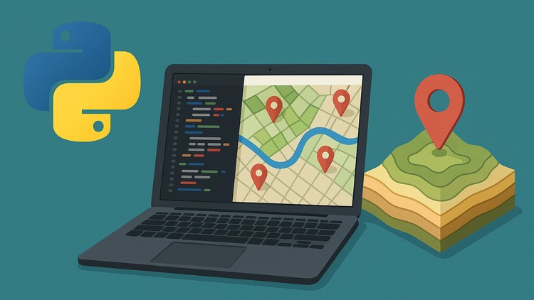
“Automate GIS Workflows and Build Real-World Geospatial Projects with ArcPy, PyQGIS, and Python.
⏱️ Length: 5.2 total hours
⭐ 4.83/5 rating
👥 2,762 students
🔄 August 2025 update
Add-On Information:
Note➛ Make sure your 𝐔𝐝𝐞𝐦𝐲 cart has only this course you're going to enroll it now, Remove all other courses from the 𝐔𝐝𝐞𝐦𝐲 cart before Enrolling!
-
Course Overview
- This intensive course provides a comprehensive bridge between the power of Python programming and the intricate world of Geographic Information Systems (GIS), guiding you through the transformation of manual, repetitive geospatial tasks into streamlined, automated processes.
- Designed for GIS professionals, data scientists, and aspiring geospatial developers, it dives deep into applying programming logic to spatial problems, equipping you with the skills to handle complex data challenges with efficiency and precision.
- Gain insights into crafting robust, scalable scripts that can integrate seamlessly into existing GIS environments, significantly enhancing productivity and accuracy across a multitude of geospatial applications and project scales.
-
Requirements / Prerequisites
- Basic familiarity with GIS concepts: A foundational understanding of layers, projections, spatial data types (points, lines, polygons), and common GIS operations is highly recommended to fully grasp the automation principles.
- Fundamental Python programming knowledge: While not an advanced Python course, a basic grasp of Python syntax, variables, data structures (lists, dictionaries), loops, and functions will be essential for following the code examples and exercises effectively.
- Access to ArcGIS software (Desktop/Pro) or QGIS: To practice the course material, having an installed version of either Esri ArcGIS (ArcGIS Pro recommended for ArcPy, or ArcMap) or the open-source QGIS desktop application is necessary.
-
Skills Covered / Tools Used
- Developing custom geospatial processing tools: Learn to move beyond the graphical user interface by writing scripts that perform sequences of operations, creating personalized functions for unique spatial analyses.
- Effective data management and manipulation techniques: Master programmatic approaches to creating, updating, deleting, and querying spatial datasets, ensuring data integrity and optimizing storage in various formats.
- Leveraging the ArcPy framework for enterprise GIS: Gain proficiency in utilizing Esri’s powerful Python site package to interact with ArcGIS Pro/ArcMap geoprocessing tools, data access objects, and mapping modules for professional environments.
- Harnessing PyQGIS for open-source geospatial solutions: Explore the QGIS Python API to script custom algorithms, develop plugins, and automate tasks within the QGIS ecosystem, offering flexibility and broader applicability.
- Integration of scientific Python libraries for advanced spatial tasks: Discover how to combine core GIS libraries with general-purpose packages like SciPy, Scikit-learn, and Matplotlib for statistical analysis, machine learning in spatial contexts, and enhanced visualizations.
-
Benefits / Outcomes
- Significant boost in professional efficiency: Transform your daily GIS operations from tedious manual clicking to rapid, repeatable script executions, freeing up valuable time for more complex analytical challenges.
- Enhanced problem-solving capabilities in GIS: Develop the ability to approach unique geospatial problems with a programmatic mindset, designing innovative solutions that are tailored to specific project requirements.
- Career advancement as a geospatial developer: Position yourself as a highly sought-after professional capable of both GIS analysis and Python development, opening doors to advanced roles in a rapidly evolving tech landscape.
- Confidence in tackling complex geospatial data: Gain the technical prowess to confidently manage, analyze, and visualize large, intricate spatial datasets, providing robust insights and supporting data-driven decision-making processes.
-
PROS
- Dual-platform approach: The course uniquely covers both ArcPy (proprietary) and PyQGIS (open-source), providing a versatile skill set applicable across a wide range of industry standards and project types.
- Practical, project-oriented learning: Emphasizes hands-on application and real-world scenarios, ensuring that learners not only understand concepts but also gain practical experience in building functional geospatial solutions.
-
CONS
- Conciseness requires self-paced exploration: With 5.2 total hours, some advanced topics or complex projects might only receive a foundational overview, requiring further independent study for deep mastery.
Learning Tracks: English,Development,Programming Languages