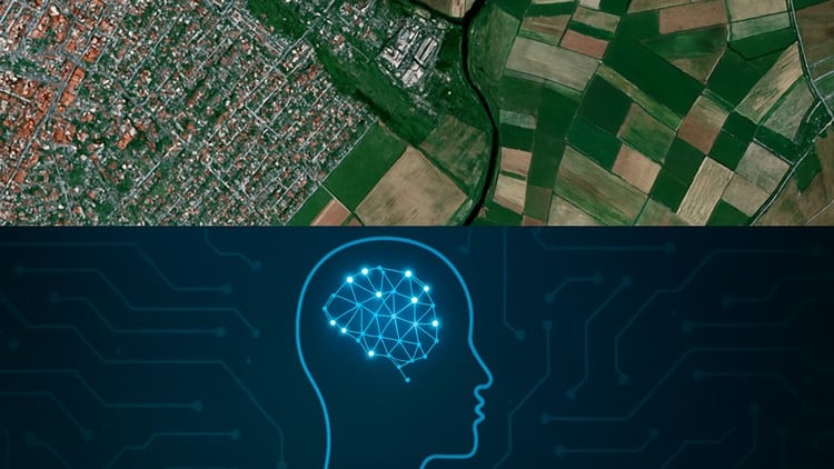
Build AI Models for Geospatial Data and Satellite Imagery
⏱️ Length: 4.6 total hours
⭐ 4.80/5 rating
👥 2,721 students
🔄 September 2025 update
Add-On Information:
Note➛ Make sure your 𝐔𝐝𝐞𝐦𝐲 cart has only this course you're going to enroll it now, Remove all other courses from the 𝐔𝐝𝐞𝐦𝐲 cart before Enrolling!
- Course Overview:
- This intensive program illuminates the critical convergence of artificial intelligence and geographical information systems, focusing on deep learning to extract actionable insights from vast satellite imagery datasets. It is meticulously designed for individuals eager to leverage Earth observation technology for tackling global challenges.
- Explore core concepts of interpreting remote sensing data through an AI lens, systematically transforming raw pixel information into profound intelligence across diverse applications like environmental monitoring, urban development analysis, and disaster response. This course uniquely bridges theoretical understanding with practical, impactful implementation.
- Delve into the methodological framework for developing intelligent systems capable of autonomously analyzing global satellite data streams. Over a focused 4.6 hours, engage with practical scenarios demonstrating how advanced algorithms identify and process complex spatial patterns, unlocking new dimensions of understanding for our changing world.
- Requirements / Prerequisites:
- Participants should possess a foundational understanding of Python programming concepts, including variables, data structures, control flow, and functions. A basic comfort level with writing and executing Python scripts will be highly beneficial.
- Familiarity with core data science libraries such as NumPy and Pandas is recommended, as these tools form the bedrock for data manipulation and analysis within many AI workflows. Prior exposure will significantly accelerate your learning curve.
- A conceptual grasp of fundamental machine learning principles, distinguishing between supervised and unsupervised learning, and an awareness of common machine learning tasks, will provide a solid cognitive framework. No prior deep learning or specific geospatial experience is strictly required.
- Access to a stable internet connection is essential for interacting with cloud-based platforms and accessing course materials. Additionally, a Google account is necessary to fully utilize the powerful capabilities of Google Earth Engine.
- An inquisitive mind and a keen interest in both artificial intelligence and understanding global phenomena through data are invaluable assets that will profoundly enhance your learning experience and the application of acquired knowledge.
- Skills Covered / Tools Used:
- Develop advanced Python scripting abilities specifically tailored for efficient Earth observation data processing and sophisticated AI model construction. This includes writing optimized code for handling large datasets and automating complex analytical workflows.
- Gain proficiency in utilizing cloud-based geospatial platforms, particularly Google Earth Engine (GEE), to seamlessly access, filter, and analyze massive global collections of satellite imagery and environmental datasets, effectively circumventing local computational limitations.
- Implement state-of-the-art neural network architectures specifically designed for interpreting intricate patterns within image data, learning to adapt these sophisticated models for various spatial analysis objectives beyond traditional statistical methods.
- Acquire techniques for efficient management and manipulation of large-scale, multi-spectral image datasets, ensuring data integrity, consistency, and optimizing their preparation for deep learning models which often demand specific input formats.
- Explore strategies for integrating AI models into practical, continuous geospatial workflows, enabling automated analysis and ongoing monitoring of dynamic landscapes such as tracking deforestation, observing urban expansion, or monitoring water resource changes over time.
- Master specialized deep learning frameworks that are optimized for image processing tasks, learning to configure and deploy these powerful tools to build robust and scalable AI solutions for complex Earth observation challenges.
- Construct robust data pipelines capable of ingesting diverse satellite data streams, preparing them meticulously for deep learning algorithms, and orchestrating the entire analytical process from raw data acquisition to final output generation.
- Cultivate expertise in various visualization techniques to effectively present and interpret the complex outputs generated by geospatial AI models, translating abstract numerical results into clear, understandable maps and compelling insights for stakeholders.
- Benefits / Outcomes:
- Empowerment to autonomously design, develop, and deploy innovative AI-driven solutions addressing critical global environmental and societal challenges, from predicting ecological shifts to optimizing agricultural yields.
- Cultivate the ability to unearth unprecedented insights and hidden patterns from vast, multi-temporal archives of satellite data, transforming raw observations into strategic advantages for research, policy, and business.
- Significantly enhance career prospects in rapidly expanding and high-demand fields such as remote sensing analysis, environmental data science, urban planning with AI, precision agriculture technology, and disaster management.
- Develop a compelling portfolio piece showcasing practical expertise in advanced AI for geospatial applications, demonstrating real-world problem-solving capabilities to prospective employers and collaborators.
- Foster a nuanced understanding of the ethical considerations, potential biases, and broader societal implications inherent in deploying AI models for sensitive geographic contexts, promoting responsible and equitable technological application.
- Gain the critical capability to contribute directly to data-driven decision-making processes across governmental agencies, non-governmental organizations, research institutions, and private industry, influencing policies and strategies with robust evidence.
- Acquire the confidence and foundational knowledge necessary to pursue further specialization in advanced deep learning techniques, remote sensing methodologies, or dedicated geospatial analytics, opening pathways for continuous professional growth.
- PROS:
- Addresses a highly current and critical technological convergence, making the acquired skills immediately relevant in a rapidly evolving job market and positioning learners at the forefront of innovation in both AI and geospatial domains.
- Emphasizes practical, project-based learning, ensuring that participants not only grasp theoretical concepts but also gain hands-on experience in building functional AI models, which is crucial for real-world application and portfolio development.
- Leverages powerful, freely accessible cloud computing platforms like Google Earth Engine, democratizing access to massive datasets and computational resources, thereby removing significant barriers to entry for aspiring geospatial AI practitioners.
- The course’s high rating (4.80/5) and significant student enrollment (2,721 students) indicate a well-received curriculum and effective instruction, suggesting a high-quality, impactful learning experience.
- The relatively short duration of 4.6 total hours allows for rapid skill acquisition and the ability to quickly apply new knowledge, making it an ideal choice for busy professionals or students looking to upskill efficiently.
- Provides a strong foundational toolkit for tackling complex challenges across various critical sectors, including environmental conservation, smart city development, resource management, and climate change adaptation, offering diverse career pathways.
- CONS:
- Given its concise 4.6-hour length, while providing an excellent introductory foundation, the course may not delve into the most advanced theoretical complexities or highly specialized deep learning architectures, potentially requiring further self-study or advanced courses for expert-level proficiency in niche applications.
Learning Tracks: English,Development,Programming Languages